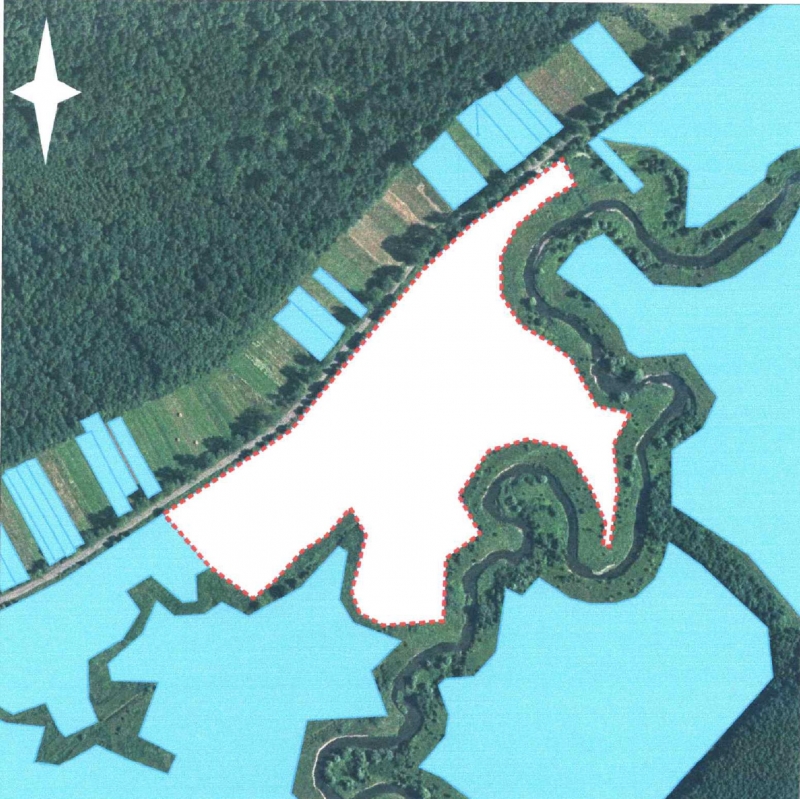
Land plot in Kopanky village with an area of 8,4683 ha
Data
INFORMATION ON AVAILABLE LAND PLOTS | |
| Land plot name, total area | Land plot with an area of 8.4683 ha in Kopanky village, located outside the residential area |
| Google Maps coordinates: | 49.08733044175019, 24.41301164126248 |
| Cadastral number: | 2622883600:02:005:0106 |
| Owner | Kalush territorial community |
| Purpose of the property | for commercial agricultural production |
| The right to use | For rent, sale |
| Gas supply, km | 0,03 |
| Water supply, km | 1,8 |
| Wastewater disposal, km | 1,8 |
| Electricity supply (power MW), km | 5,0; 0,8 km |
| Paved road, km | 0,01 |
| Airport (km) | Ivano-Frankivsk - 40, Lviv - 120 |
| Nearest railroad track/freight station, km | 1.5 |
| Contact information (phone, e-mail) | |